

LOCATION
line
• Westlock County
• 151 Acres
• Near Echo Lake Family Campground
• 101 km drive from central Edmonton
DIRECTIONS, PARKING & TRAILS
line
• Roadside parking
• Trails not maintained
• Trails often wet throughout spring and summer
• Recommended for experienced hikers due to remote location
• Bears and cougars frequent this area


Wildlife and Habitat
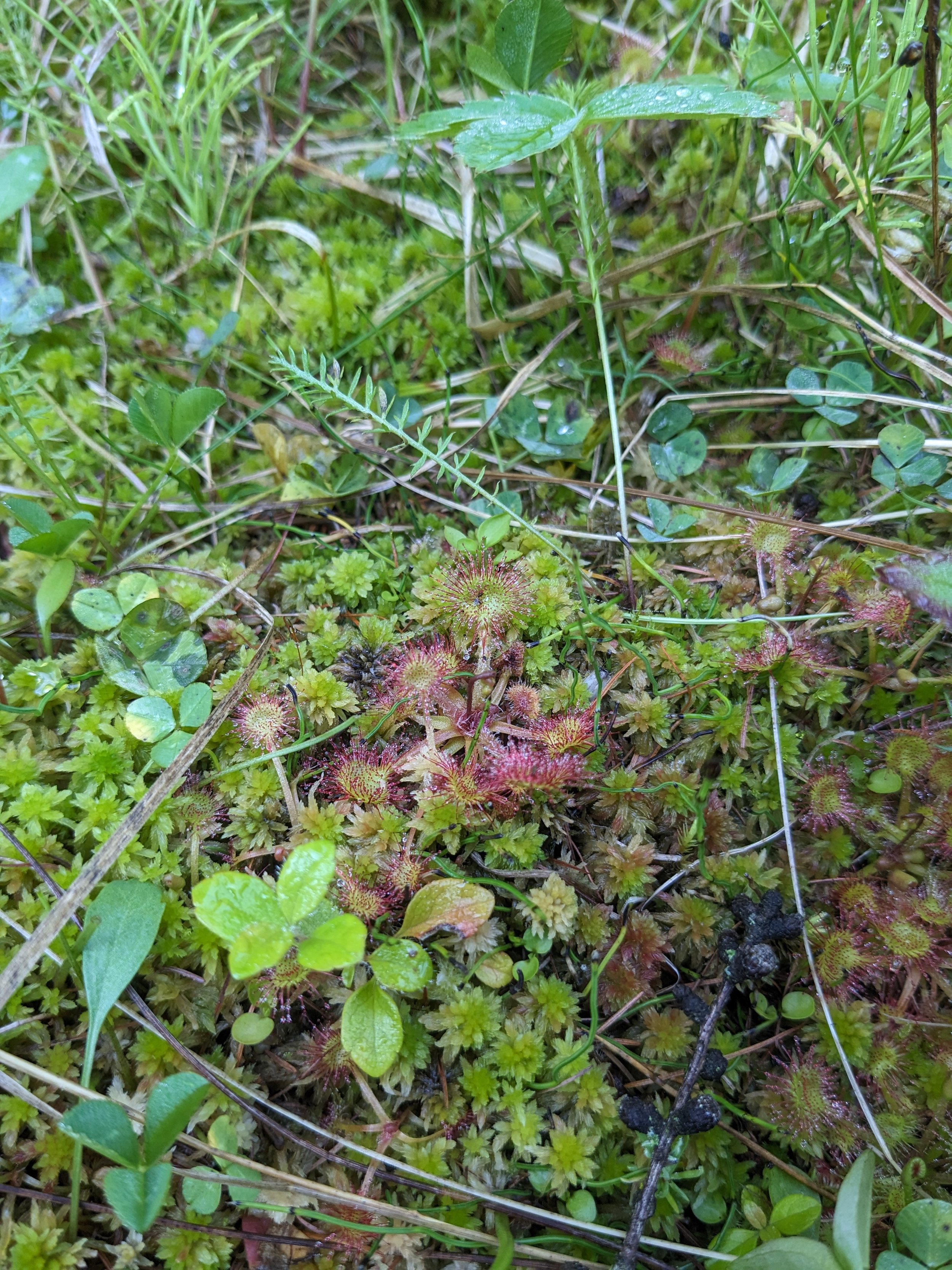
This conservation land is comprised of lush forested wetlands and mixedwoods forest. A large portion of this property is vegetated wetland and peatland, which is some of the most valuable habitat for holding carbon.
Vegetation communities include a wet coniferous fen, mixedwoods forest, mixedwood swamp, and shrubby fen.
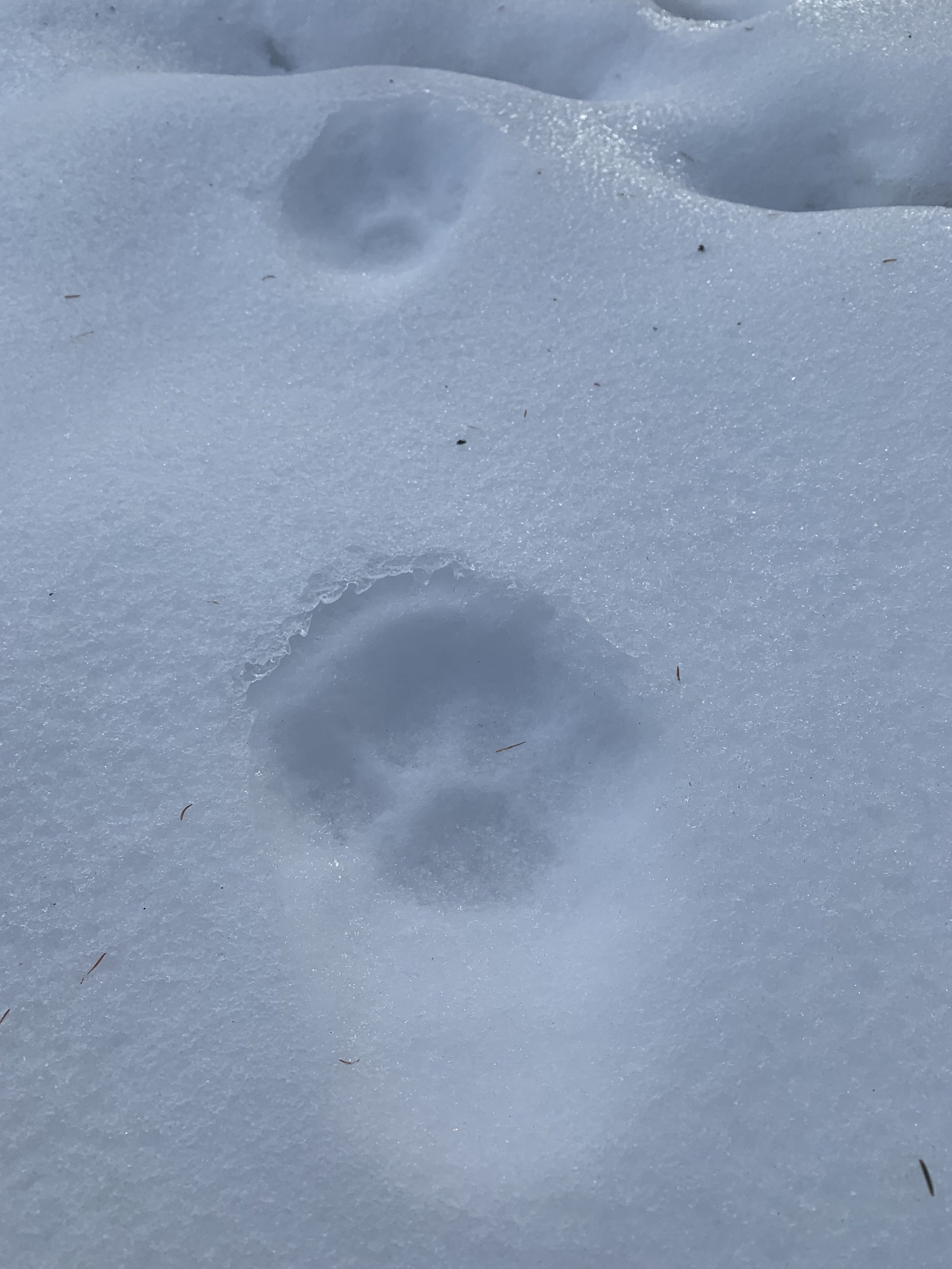
Sundew is home to many wildlife species, including lynx, moose, Boreal chickadees, elk, loons, Pileated woodpeckers, and many more. This is also great habitat for bears and other predator species.
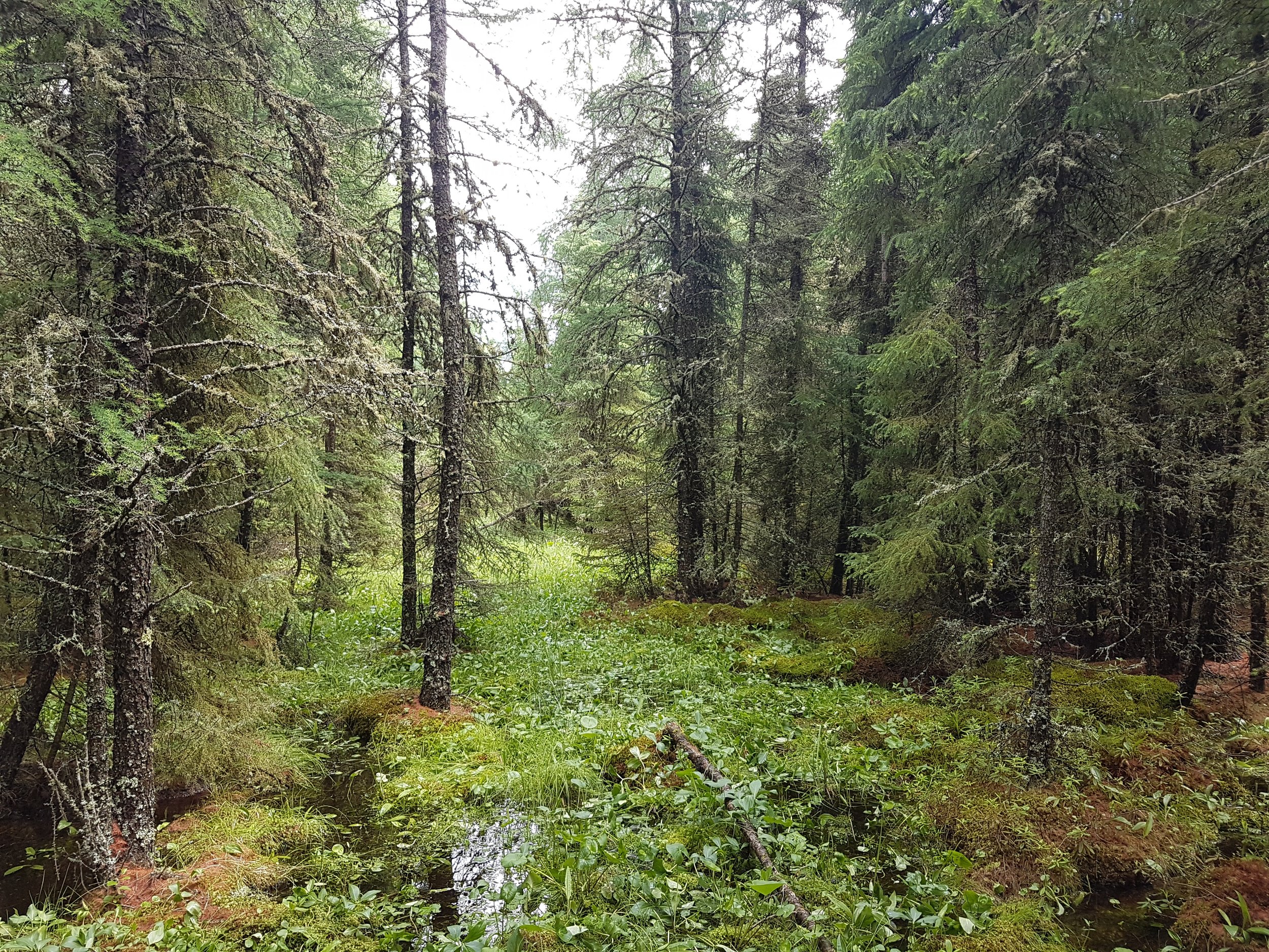
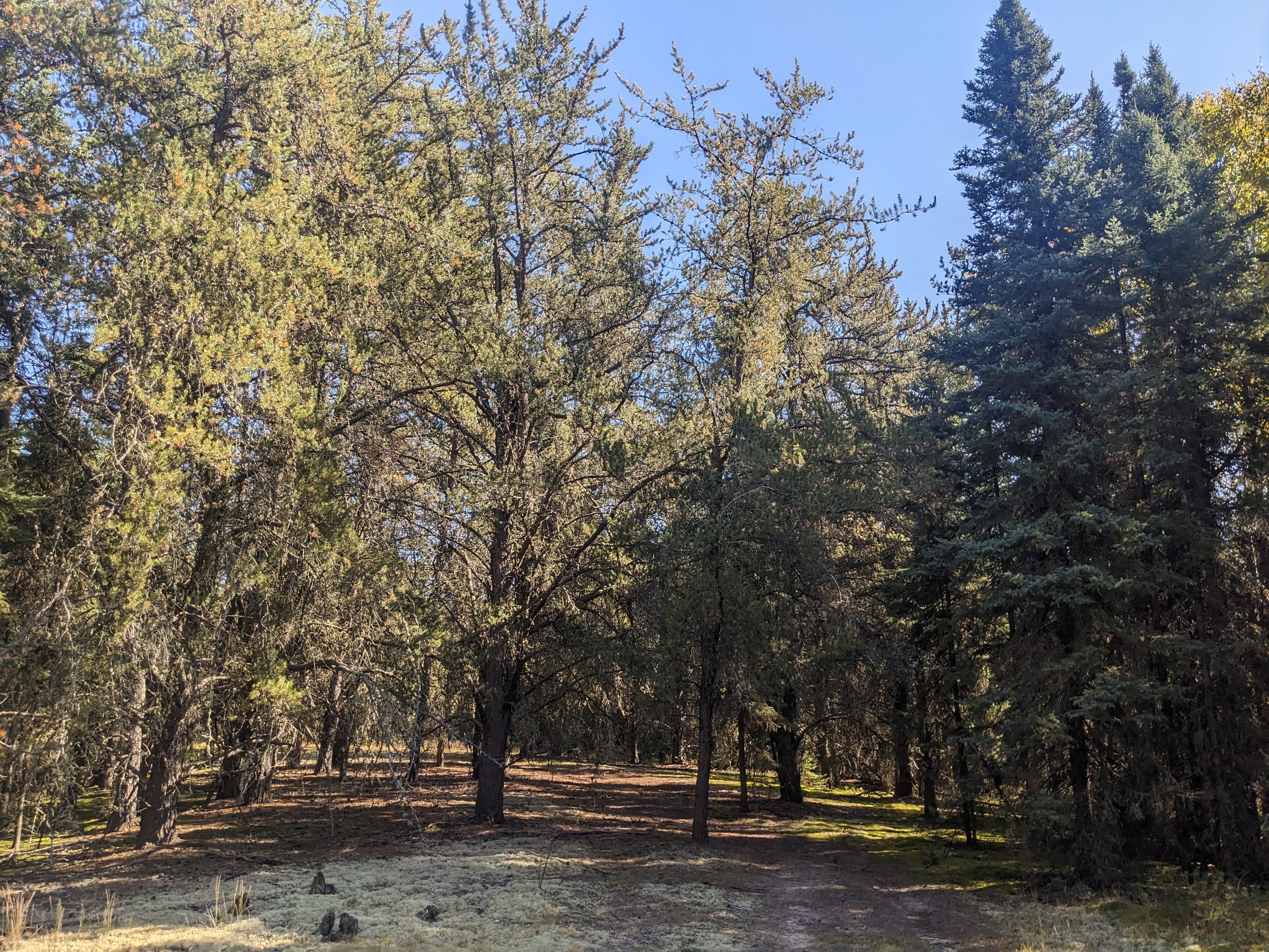

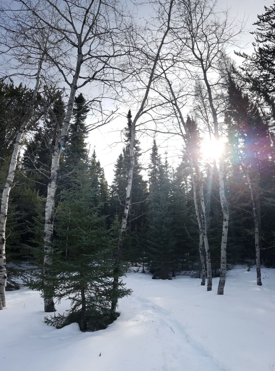
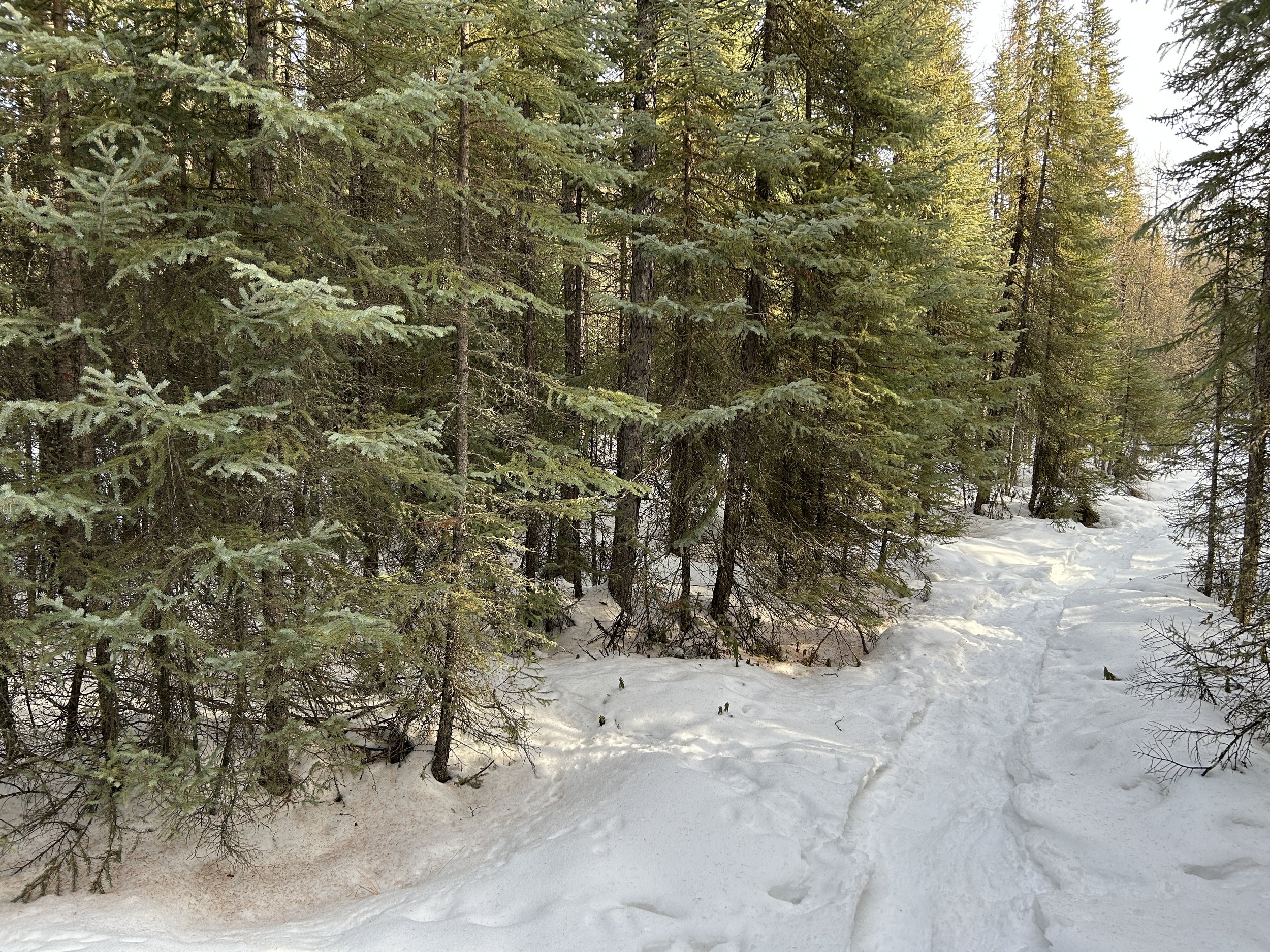
Photos: EALT
Indigenous Connections
Sundew is within Treaty 6 territory and Otipemisiwak Métis Government District 11. It is in the traditional territory of many Indigenous peoples, namely the Nêhiyawak (Cree), Otipemisiwak/Métis and Nakoda.
Sundew lies south of the hamlets of Tawatinaw and Nestow, which both have Nehiyawewin (Cree) names.
Tawatinaw means river which divides the two hills, and Nestow is Nehiyawewin for brother in law.
Sundew is close to the 100 mile portage, which was built in 1876 by the Hudson’s Bay Company. It was a popular fur trade route. Métis Elder Billy Loutit had famously made the 100 mile long journey along the trail in 16 hours on foot. He traveled from Athabasca landing to Fort Edmonton, seeking aid for a large flood in Athabasca. Some accounts say he arrived at the same time as a man on horseback, sent from 80 miles away.
The Pembina River is just a five minute drive from Sundew. It’s one of the major waterways within central Alberta that was used for trading and traveling by many different nations. The word Pembina means “high bush cranberry”. It is believed to be a French interpretation of the Nehiyawewin word “nîpiminâna” or the Anishinaabemowin (Ojibwe) “niibiminaa”, an earlier form of “aniibimin”. High bush cranberry can be used in pemmican, which has been a staple of many different nations when traveling long distances.
Importance
Sundew Conservation Land is located near other protected areas, and is prime habitat for threatened amphibian species such as the Canada toad and the Boreal toad. In addition, the rich peatlands that this ecosystem supports are excellent at storing carbon. By protecting it, the ecological integrity of this unique habitat is maintained, thus allowing it to continue storing carbon: an increasingly important role as the climate changes.
Sundew is the second conservation land EALT has had the privilege of purchasing, thanks to a grant from Environment and Climate Change Canada to secure carbon-rich land to mitigate climate change.
Stewardship Highlights and Recent News
Blog


